
Aerial inspections help us to identify faults or potential hazards with electrical equipment or vegetation encroachment across our network. They form part of our ongoing maintenance program that helps us keep our network safe and reliable for our customers and communities. Currently, we have two aerial inspection programs; the Bushfire Inspection Program and the Sub Transmission Program.
Aerial inspection locations and dates
July 2026
Broken Hill - Drone
Customers will be sent SMS and email notifications before inspections are scheduled to take place on their properties.
To receive notifications, customers are encouraged to keep their contact details, including mobile number and email address, up to date with their electricity retailer.
If your property has specific circumstances that require special notification, you can register your request using our online form.
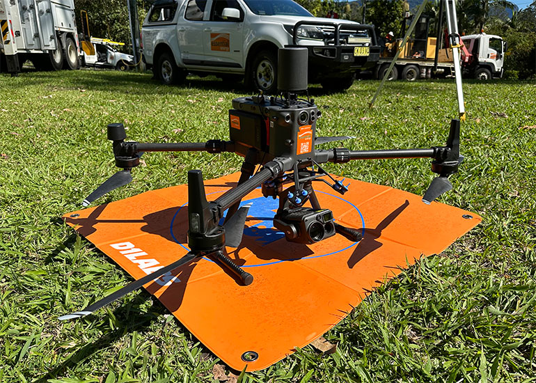
Types of Aerial Inspections
Both programs involve two inspection types:
- an aerial patrol using an aircraft (like a helicopter) flying at a low altitude (below 500ft)
- drone inspection supported by a ground patrol.
Technology is supporting changes to our inspection programs through the greater use of drones. Using drones to inspect our poles and wires is more efficient, has a low impact and is safer. Low flying aircraft are used as part of the inspection program in areas where drones are unable to operate.
Bushfire inspection program
The annual bushfire inspection program involves a visual inspection of the electricity assets across high-risk areas of the Essential Energy network in preparation for the upcoming bushfire season.
The bushfire inspection program is part of the Essential Energy Bushfire Risk Management Plan.
Our bushfire inspection program begins in late January and runs for several months. Following the inspections, asset maintenance and vegetation clearing may be required to prepare the network ahead of the next bushfire season. For more information about our vegetation management program, visit our vegetation management page.
Sub Transmission Inspection Program
The Sub transmission inspection program involves the helicopter and drone inspection of approximately 2500 sub transmission poles in North Western NSW. The purpose of the inspection is to identify defects and potential vegetation hazards to ensure the electricity sub transmission feeders are in good condition, improving our network reliability and resilience in the region.
The inspection program begins in late July and runs for approximately five days. Following the inspections, asset maintenance and vegetation clearing may be required to rectify any issues found and ensure reliability of the network. For more information about our vegetation management program, visit our vegetation management page.


